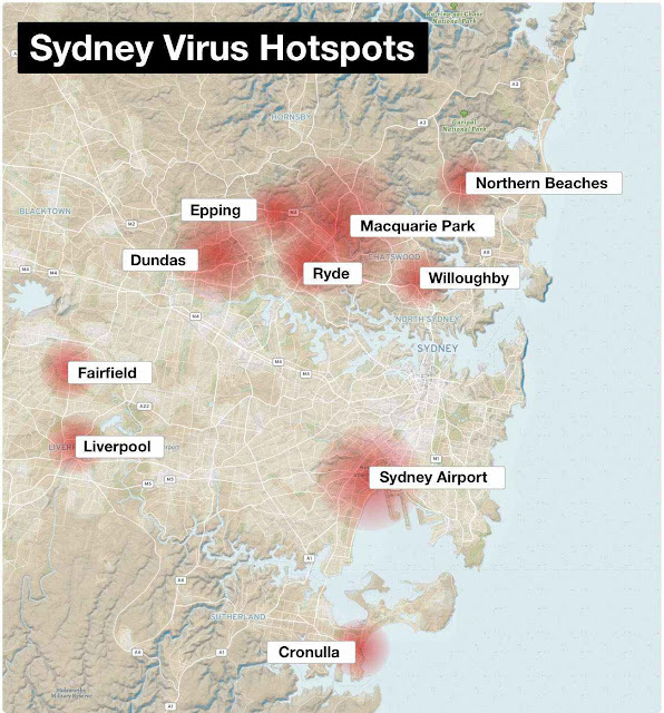
Bangladesh scientists publish GIS analysis of COVID contagion-Methods can be applied to Australia and can help reduce lockdown costs , but Australian governments refuse to do so

by Ganesh Sahathevan Scientists from Bangladesh have published a GIS analysis of COVID contagion in their country, proving yet again how useful and efficient GIS methods can be in crafting policies to deal with the contagion. Identification of risk factors contributing to COVID-19 incidence rates in Bangladesh: A GIS-based spatial modeling approach They have concluded: Findings and discussions from this research offer a better insight into the COVID-19 situation, which helped discuss policy implications to negotiate the future epidemic crisis. The primary policy response would be to decentralize the urban population and economic activities from and around the capital city, Dhaka to create self-sufficient regions throughout the country, especially in the north-western region. While their findings are based on data from Bangladesh, their methods can be applied to Australia and can help reduce lockdown costs , but Australian governments refuse to do so. As explained...